Google Earth has revolutionized the way we view the planet. From exploring remote islands to zooming in on your own backyard, the platform has become a tool for adventure, research, planning, and even nostalgia. One of the most frequently asked questions users have is: How often does Google Earth update its images? In this article, we’ll dive into the logic behind Google’s satellite imagery updates, look at 2025 data and insights, and explain how you can find out when a specific area was last updated.
TL;DR
Google Earth does not update its maps in real-time. Depending on location, imagery can be updated every few months to every few years. Urban areas tend to refresh more frequently than rural or remote locations. In 2025, Google uses a mix of satellite and aerial imagery that updates parts of the globe at different times, with no single universal refresh cycle.
How Google Earth Gets Its Images
Before we discuss how frequently updates occur, it’s important to understand where the images come from. Google Earth uses a combination of:
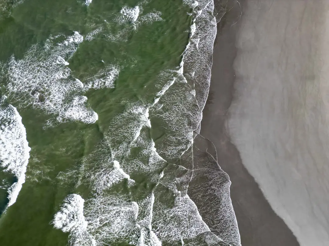
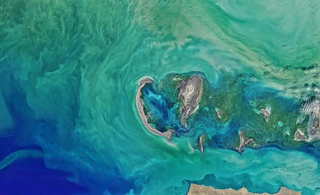
- Satellite imagery – Captured from commercial imaging satellites orbiting Earth.
- Aerial photography – Taken from planes flying at high altitudes, especially for urban and suburban areas.
- Street View imagery – Captured from vehicles and pedestrian routes using mounted cameras.
Each source contributes to different layers of Google Earth, and each has its own update schedule. Therefore, the part of Google Earth you’re using may be pulling from a variety of dates and sources.
How Often Are Images Updated in 2025?
In 2025, the refresh cycle of Google Earth imagery remains non-uniform. Contrary to popular belief, Google does not update the entire globe at once. Instead, it deploys a rolling update strategy. Here’s what the update frequency generally looks like:
- High-population urban centers: Every 6 to 12 months.
- Suburban areas: Every 1–2 years.
- Rural and remote areas: Every 2–5 years, sometimes longer.
- Disaster-affected or significant-event areas: May be prioritized for updates within weeks or months.
In 2025, Google continues to prioritize regions based on population density, environmental changes, and geopolitical relevance. Advances in satellite technology and data processing also allow for faster acquisition and uploading.

The Myth of Real-Time Imaging
One common misconception is that Google Earth offers real-time or near-real-time imagery. While this feature would be incredibly useful, it simply isn’t feasible on the scale Google Earth operates. There are several reasons why real-time updates aren’t happening:
- Image Quality vs. Speed: Acquiring and processing high-resolution satellite imagery takes time. Prioritizing quality means sacrificing real-time delivery.
- Cloud Coverage: Satellite imagery often needs to wait for clear weather conditions. Cloud coverage can delay the acquisition of suitable photos.
- Data Volume: Updating the entire globe in high resolution would require massive storage and computing power — and that’s assuming perfect conditions everywhere.
So, when you’re staring at your home on Google Earth, the image may very well be 1–3 years old, especially in less densely occupied regions.
How Can You Tell When an Image Was Taken?
Fortunately, Google Earth makes it relatively easy to check the date of the imagery you’re viewing. Simply:
- Open Google Earth Pro on desktop (this feature isn’t always available on mobile or web versions).
- Zoom in to your area of interest.
- Look at the Imagery Date in the bottom right corner.
- If historical views are enabled, use the clock icon in the toolbar to scroll through past images.
This allows you to not only find the date of the current image but also access archived data, which is great for tracking changes over time.
The Role of AI in Updates
In 2025, artificial intelligence plays a critical role in speeding up the process of identifying which areas need updating. Machine learning algorithms analyze high-volume satellite data to detect changes in:
- Urban development
- Deforestation and environmental change
- Disaster recovery efforts
These automated systems help prioritize regions that need fresh imagery. For instance, areas impacted by wildfires or floods might be fast-tracked for updates so that emergency agencies and the public can assess damage.
Why Some Areas Update More Frequently Than Others
As expected, not all locations receive equal attention. Here’s why:
- Population Density: Heavily populated cities like New York, Tokyo, or London are updated more frequently due to higher user interest.
- Economic Significance: Industrial and economically strategic regions get satellite coverage more often.
- Geopolitical Factors: Regions of international interest or conflict may be monitored more regularly.
- Commercial Use: Companies that use Google’s enterprise-level mapping services can influence update priorities.
Can You Request an Update?
Some users are surprised to learn that Google does offer a way to request new imagery, though there are limitations. Through the Google Earth Outreach program, non-profits, educators, and researchers can submit update requests for specific areas related to humanitarian work, climate change, and other global issues.
This option isn’t for casual users who just want a shiny new image of their backyard, but it’s a valuable tool for critical projects around the world.
Street View vs. Satellite Updates
It’s important not to confuse Street View updates with satellite imagery updates. Street View is a parallel service that’s managed separately. The frequency of Street View updates depends on vehicle routing, pedestrian mapping, and partnerships with local authorities. It is not updated as frequently as users might hope, although urban areas usually see more frequent refreshes.
Alternatives and Complementary Tools
If you need more current imagery than Google Earth typically provides, you might consider additional sources:
- Google Maps: Sometimes updated quicker than Earth, especially in Street View mode.
- NASA Worldview: Offers near real-time satellite data, especially useful for environmental monitoring.
- Sentinel Hub and Copernicus: European platforms offering free and frequent satellite updates.
- Private services: Companies like Maxar and Planet Labs offer very frequent, high-res imagery for a fee.
Conclusion
So, how often does Google Earth update its images? The answer varies widely by region and purpose. In 2025, updates are guided by artificial intelligence, demand, and environmental significance. While it’s not real-time, the refresh rates are reasonably fast in high-interest regions and are always improving thanks to evolving technology.
Whether you’re a casual observer checking in on your hometown or a researcher tracking global changes, knowing how image updates work can help you make better use of this powerful platform.